

2014 INOE 2000. All rights reserved.
General Info
GEOSPATIAL INTEGRATED TECHNIQUES FOR SEISMIC FORECASTING IN VRANCEA AREA

Summary
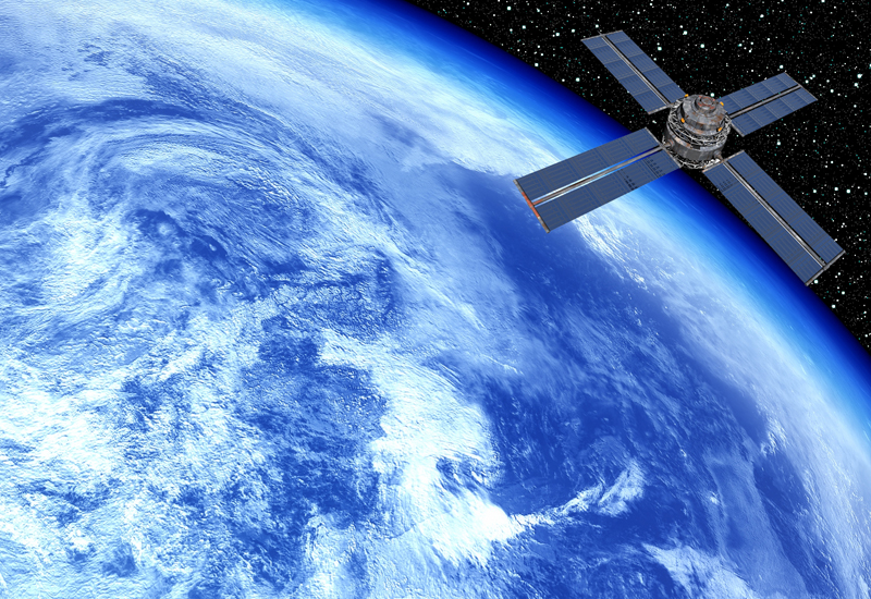
VRAFORECAST project will implement integrated satellite monitoring seismic hazard mapping for surveillance and forecasting services based on geophysical parameters having seismic precursory character through use of existing time-series geospatial data and future Sentinel 1, 3 missions data for seismicity analysis of Vrancea active zone in Romania as support of Global Monitoring of Environment and Security in Europe. Will be identified pre-seismic activity of ionospheric, land surface temperature, outgoing longwave radiation, surface latent heat flux, meterological, solar, geomagnetic and crustal deformations parameters. A Lithosphere-Atmosphere-Ionosphere Model applied for crustal movements and seismicity in Vrancea area will be developed and cross-validated with geospatial and in-situ data. VRAFORECAST project main objectives and related goals are : 1) integration/assimilation of satellite remote sensing data and in-situ data in a complex database and Lithosphere- Atmosphere-Ionosphere model, to forecast the seismicity trends in Vrancea; 2) the study of the future ESA mission requirements for proper satellite sensors development to detect preseismic signals.
Partners
CO- National Institute of R&D for Optoelectronics- Environmental Remote Sensing Department
P1- Advanced Studies and Research Center (ASRC)
P2- National Institute of R&D for Earth Physics
Objectives
1) Integration/assimilation of satellite remote sensing and ground monitoring data into a Background geodata Base.
2) Develop an Advanced Integrated Monitoring System and surveillance of seismic precursors satellite derived ( cross-validated with satellite and in-situ) for Vrancea zone.
3) Develop and cross-validate with in-situ and geospatial data a Lithosphere- Atmosphere-Ionosphere Coupling Model for Vrancea zone, to forecast the seismicity trends and early warning strategies production.
4) Produce seismic hazard/risk mapping and information services for seismic surveillance of Vrancea zone and Romania, for reduction of potential negative risks and decision making options.
5) Develop a platform for results dissemination at by stimulating cooperation between research institutes, SME, and with European Space Agency in frame of new sensors data use and scientific programs development.
6) To study of how satellite observations from space can support the implementation of seismic hazard/risk efficiency policies embracing typical issues from Vrancea area in Romania.
7) To study the new satellite missions requirements for a high resolution satellite sensors for sesimic precursors monitoring and surveillance of Vrancea active zone.